Skip to content

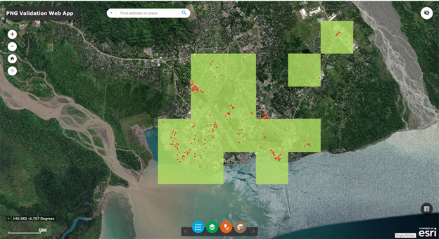
GISCorps Volunteers Map Hurricane Dorian Preparedness and Damage

Tropical Storm Dorian became a named storm on August 24th, battering the Windward and Leeward Islands of the Caribbean with strong winds and rains. Over the coming days, it strengthened to a Category 5 storm, and stalled over Grand Bahama…

Read more
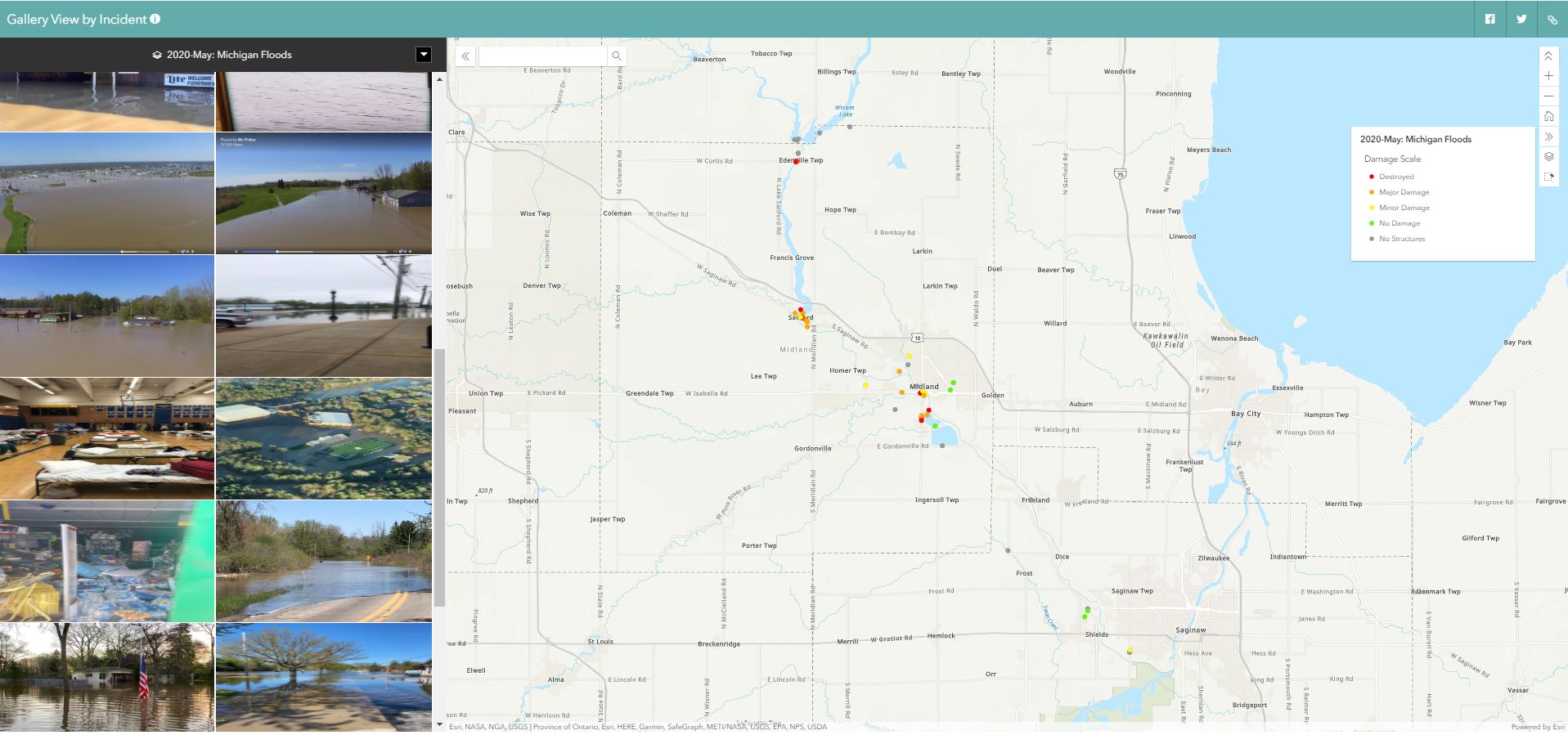
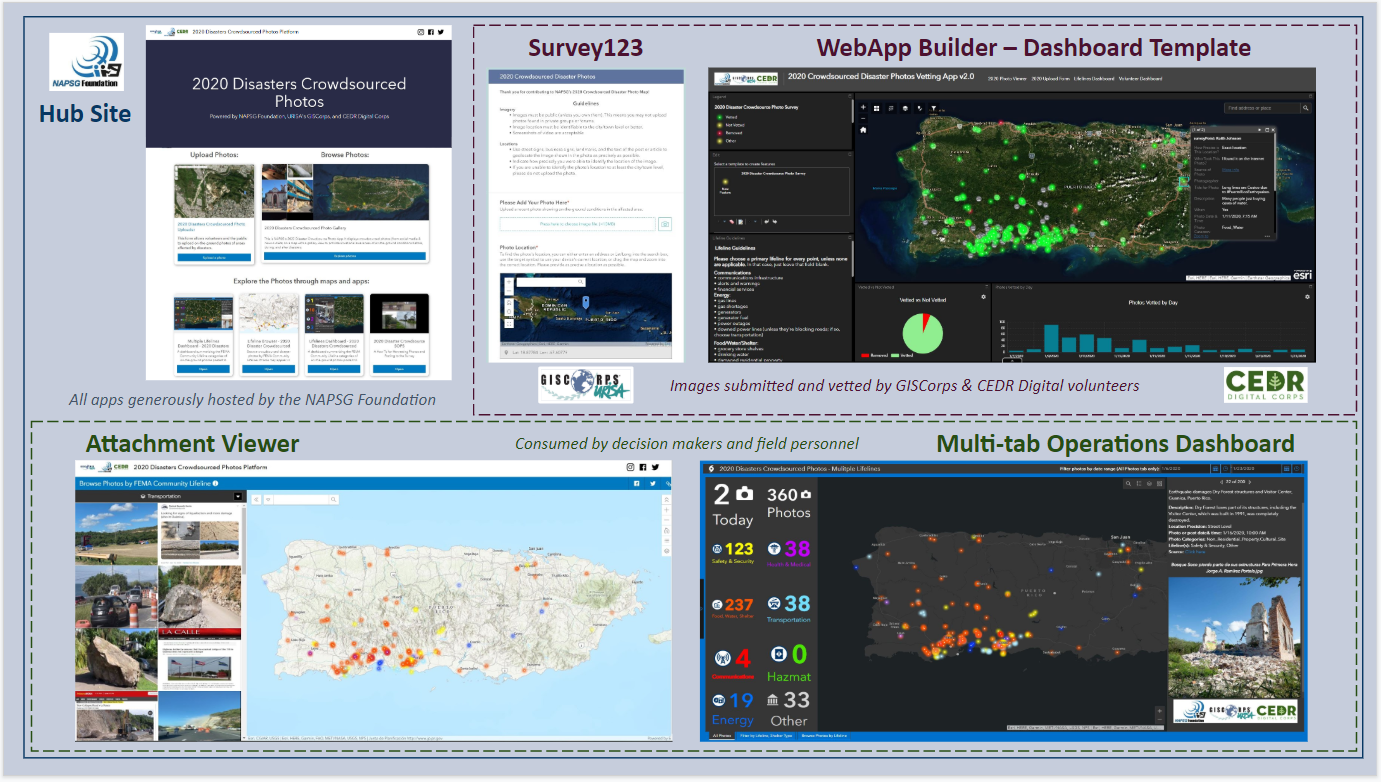
2019 Hurricanes Crowdsourced Photos app

GISCorps Admin Team Selected for 2019 Hurricane Season

Building on a series of successful collaborations in 2018, following Hurricanes Florence, Michael, and Barry, NAPSG Foundation, CEDR Digital Corps, and GISCorps continued to provide on-the-ground situational awareness to emergency managers and first responders in 2019 with the 2019 Hurricanes…

Read more
Back To Top