Skip to content

Volunteers geo-locate crowdsourced photos for Hurricane Isaias

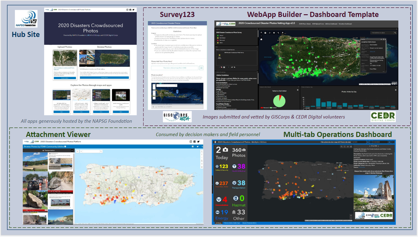
Hurricane Isaias was the second hurricane of the 2020 Atlantic storm season. The National Alliance for Public Safety GIS Foundation (NAPSG) requested support from GISCorps volunteers for the long-standing Disaster Crowdsource Photos effort, to provide situational awarness to emergency managers. While the storm…
Read more

Volunteers Assisting COVID-19 Human Activity Level Mapping

GISCorps volunteers contributed to this project by creating polygons of parking lots that are visible from space and indicative of human activity level changes. The project is using the volunteers’ products to track the temporal variation of such human activity over the polygons.

Read more

Volunteer develops crop yield prediction models for The Food Aid Project

Food Aid Project, Inc. 501(c)(3) is a charitable purpose, nonprofit organization whose mission is to support food and economic security by increasing the efficiency of and access to the bulk food procurement and distribution network. They requested a GISCorps volunteer to…

Read more
Back To Top