Overview The PhotoMappers project is in its 10th year of providing situational awareness to federal,…
Succor Solutions is a long-term disaster relief and recovery organization, assisting and supporting nonprofit organizations, NGOs, Government Agencies, businesses and individuals working in post-disaster and vulnerable populations environments. Pamela Bond, a GISCorps volunteer in Idaho, was selected to perform a GIS needs assessment, assist in developing an organizational geospatial strategy, and make recommendations to Succor on the matters of technology, personnel skill requirements, and workflows.
Throughout the project timeframe, Ms. Bond met regularly with Succor Solutions’ Executive Director Justin Burns to learn about the organization’s goals, staffing, data source/data collection, technology, and training needs for the next five years (2022-2027). Ms. Bond also gathered information via a GIS needs assessment questionnaire. Besides assessing Succor Solutions’ general GIS needs, Ms. Bond also conducted an assessment of the current state of Succor’s ArcGIS Online organization and assisted Mr. Burns in exploring and learning about the GIS resources available to the organization via the Esri Nonprofit and Disaster Response programs.

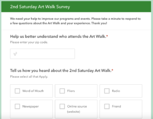
During the project, Mr. Burns was also creating a Participatory Asset Mapping pilot project that could be tested during local events in central Virginia. The pilot project is meant to engage the community with technology and learn more about the cultural assets they appreciate. Mr. Burns completed the bulk of the work – creating the Survey123 survey for information collection and a StoryMap for sharing the results. Ms. Bond assisted and tested when requested.
Project complete.


