COVID-19 Stories: Lost Loved Ones, Recovery Stories, and Vaccination Stories
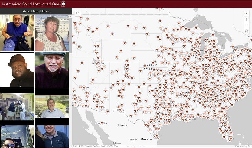
Stories of Loss Several years ago, Esri started a “Celebrating Lost Loved Ones” application to pay tribute to those lost to the opioid epidemic. Now, as countless lives are being lost to the coronavirus disease 2019 (COVID-19) pandemic, the idea…