
Overview The #PhotoMappers project is in its 11th year of providing situational awareness to federal,…
The Evolution of Emergency Copernicus Services (E2mC) Project, funded by the European Commission, was conceived to explore the integration of social media data mining, crowd-sourcing, and machine learning to improve the timeliness, accuracy, and precision of spatial data for rapid mapping during a natural disaster or other crisis.![]()
To that end, the E2mC team has developed a multi-component, open-source solution called Copernicus Witness. When initiated, the data collection component uses automated web crawlers working alongside a human-driven Google Chrome extension to funnel relevant social media posts to the crowdsourcing phase of the project. The crowdsourcing component, called Crowd4EMS, is a set of web-based mobile and desktop applications facilitating validation and refinement of location and classification information. The third and final component is a real-time, web-based spatial and tabular data visualizer. The visualizations allow emergency managers to quickly sort, filter, map, and extract data within the first critical hours of a crisis to make decisions and develop a response strategy.
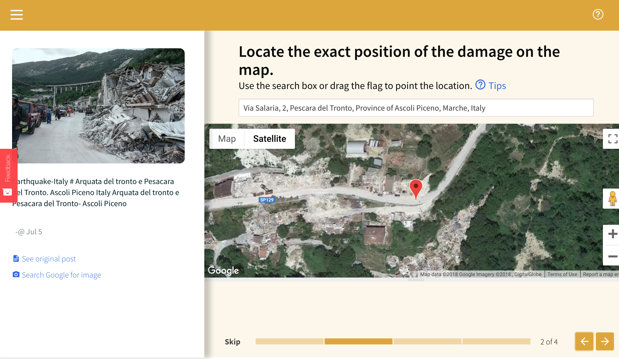
In November, the E2mC team reached out to GISCorps to get volunteer feedback on their platform using a simulation from the 2016 earthquake in Amatrice, Italy. Twenty-seven volunteers contributed over 100 hours to testing the Crowd4EMS application and providing feedback to the team on their experience. As the platform develops further, the team may request further review by GISCorps volunteers.
After further refinement of the application, the E2mC team requested a second round of testing support from GISCorps. This time, the Crowd4EMS simulation used Hurricane Michael’s landfall in the southeastern United States as a test case. Eleven GISCorps volunteers collectively contributed 29 hours in mid-December, using the Crowd4EMS application to geolocate hurricane-related imagery posted on social media during and after the storm.

Related Missions


