Skip to content

Hundreds of Volunteers Create Nationwide COVID-19 Testing and Vaccination Site Layers

October 2021 Update GISCorps closed out the COVID-19 Testing and Vaccination Sites mapping mission on October 15, 2021.  The COVID-19 Testing and Vaccination Sites Data Creation project was originally expected to last a few weeks, but ended up extending to more than 18 months. Around 300…

Read more

Volunteers geo-locate crowdsourced photos for Hurricane Isaias

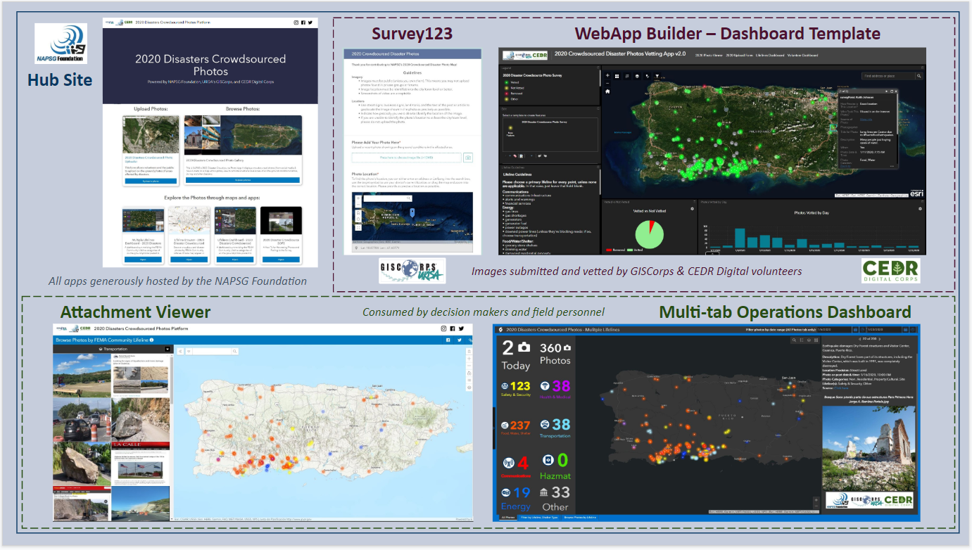
Hurricane Isaias was the second hurricane of the 2020 Atlantic storm season. The National Alliance for Public Safety GIS Foundation (NAPSG) requested support from GISCorps volunteers for the long-standing Disaster Crowdsource Photos effort, to provide situational awarness to emergency managers. While the storm…

Read more
Back To Top